US National Park Maps: Illustrated Trail Maps
We recommend getting US National Park maps that feature the roads, hiking trails, points of interest and important recreation details you’ll find in the park.
Maps should be on any National Park packing list. They also make great National Park gifts!

The National Geographic maps are the best because they’re waterproof and tear-resistant. We like the detailed topography as well to get a better sense of the terrain of the park.
This site contains affiliate links which means WE may receive commissions for purchases made through these links. We only provide links to products we actually use and/or wholeheartedly recommend! As an Amazon Associate, we earn from qualifying purchases. Read the full Disclosure Policy.
National Park Guide Books
Another must-pack item we recommend are US National Park guide books that provide more detail about the points of interest in the park. These travel guides help us to plan our daily itinerary of things to see and do each day.
We also like to use National Park hiking guides that provide all the information we need for specific trails in the park like length, elevation gain, estimated time to complete, and more!
US National Park Maps

Learn about our parks’ founding fathers and the unique characteristics each park has to offer―maybe even discover a park you’ve never heard of before, or a new one to have your next adventure.

National Geographic's Destination Map of National Parks of the United States highlights the nearly 400 magnificent parks across America.

The Map Collection is the perfect companion for the roadtrip of a lifetime or as a reference for armchair travelers who want to dream of their next national park trip.
Utah National Park Maps

Each of the maps in this Map Pack Bundle covers a different park with its own unique landscape.

This expertly researched map features key areas of interest including Devils Garden, the Windows Section, Sand Flats Recreation Area, the Sovereign area, and Wolfe Ranch. The print version of the map includes fascinating information about the park's geology, archeology, history, and culture, as well as contact information and regulations.

This expertly researched map will help you get the most from your visit with backpacking and day hike trail summaries, accurate road network, trailheads, campgrounds, lodging, and scenic viewpoints. The map features many key points of interest including Rainbow Point, Ruby's Inn, and Natural Bridge.
![Image for Canyonlands National Park [Map Pack Bundle]](https://m.media-amazon.com/images/I/517aIzX2CBL._SL500_.jpg)
This Map Pack combines the three distinct districts of Canyonlands into an easy to purchase bundle. While the districts appear close on a map, there are no roads that directly link them so each map in the bundle represents a different adventure into the rugged canyon landscape.

A summary chart of fifteen Fruita day hiking routes, contact info, safety tips, and information about road tours, geology of the park, and recreation activities are included to help guide you in enjoying all the park has to offer.

This expertly researched map combines unmatched detail with useful information to help you get the most from your visit, including a chart detailing the extraordinary geology of Zion and a companion hiking timetable for the popular Zion Narrows.
Western US National Park Maps
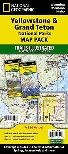
The two maps in the Map Pack cover the many thousands of square miles and show popular tourist destinations as well as the deep backcountry where only the hardcore backpacker will be seen. The maps include detailed trail networks with points of interest such as campgrounds, boat ramps, ski areas, and many more.

National Geographic's Trails Illustrated map of Glacier and Waterton Lakes National Parks offers unparalleled detail for outdoor enthusiasts exploring the pristine landscape of forests, mountains, lakes, and meadows within these two spectacular parks.

Explore the alpine forests, wild rivers, jagged peaks, and abundant glaciers of North Cascades National Park with National Geographic's Trails Illustrated map.

National Geographic's Trails Illustrated map of Mount Rainier National Park is designed to meet the needs of outdoor enthusiasts by combining valuable information with unmatched detail of this spectacular landscape of glaciers, old-growth forests, subalpine meadows, and valleys.

Loaded with helpful information on camping, hiking, lodging, transportation, regulations, and safety, this map is an invaluable tool for casual park visitors and avid adventurers alike.

Lassen Volcanic National Park in northern California is one of the few places in the world where one can see all four types of volcano. National Geographic's Trails Illustrated map of this unusual park offers outdoors enthusiasts a valuable tool for exploring the park's fumaroles, hot springs, mud pots, mountain lakes, and forests.

Detailed Joshua Tree National Park map - hiking trails, backroads, campsites, wilderness areas, road and trail mileage.

With miles of clearly marked trails that include mileages between intersections, this map will prove invaluable in your exploration of the park. A list of backcountry roads and trails complete with descriptions, lengths, and starting points will help you choose a route that's right for your activity level and recreation use.
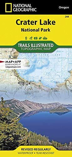
Trail mileage between intersections and use designations will help you choose the path that's right for you. The Rogue Umpqua and Volcano Legacy scenic byways are noted for those wishing to take in the scenery by car. Many recreation features are noted as well, including campgrounds, trailheads, boat ramps, horse camps, fishing and swimming areas, boat tours, and scenic viewpoints.
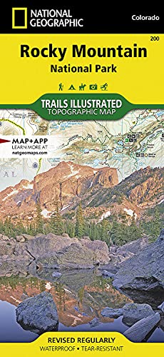
The map can guide you off the beaten path and back again with over 400 miles of mapped trails including hiking, horse, snowmobile, cross-country ski, ATV, and mountain bike trails. The map base includes contour lines and elevations for summits, passes and major lakes.

Key areas of interest featured on this map include Colorado River miles 60-98, North and South Rim visitor centers, Grand Canyon Village, Tusayan, Bright Angel Trail (plus elevation profile), West Rim Trail, Kaibab Trail, Arizona Trail, and more.

This map offers unmatched detail of the entire park including such key areas of interest as Black Gap Wildlife Management Area, Sierra del Carmen, Sierra del Caballo Muerto, and portions of Big Bend Ranch State Park. The print map features detail of the Chisos Mountains, Rio Grande Village, and Burro Mesa.
Eastern US National Park Maps

The Map Pack Bundle includes two maps to help visitors get the most out of their trip. The map pack includes an overview map that shows the entire park as well as a Day Hikes map guide.

Day Hikes Topographic Map Guide includes sixteen diverse hikes for all hiking enthusiasts, from the easy, 3.0 mile long Stony Man Loop to the strenuous, 9.4 mile long Wildcat Ridge - Chimney Rock Loop. Each hike has a detailed map, a trail profile visualizing the changes in elevation, and a short summary of the interesting features encountered along the trip.

Map features over 120 miles of trails, ferry routes and key points interest. The print version of the map also includes insets of Mount Desert Island, Schoodic Peninsula and Isle Au Haut.

Mapped canoes trails will guide you through the area's bays, lakes and other waterways. The 99-mile Wilderness Waterway is mapped in its entirety along with its NPS markers, backcountry campsites and chickees.
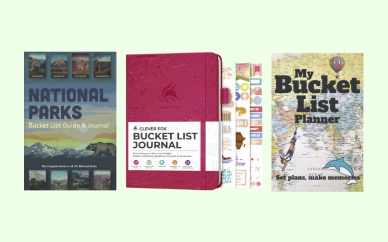
National Park Journals and Passports
Don’t forget to pack National Park journals and passports so you can write all about your vacation. Later you can add photos and trinkets to to create a wonderful memory book of your National Park vacation..
You’ll also need to pack good journaling pens that won’t bleed through the pages!
TRAVEL MEMORY & KEEPSAKE IDEAS