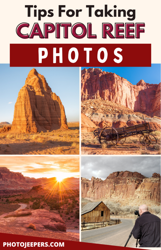
Tips to Take Capitol Reef National Park Photos
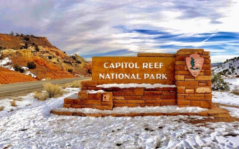
Capitol Reef is located in southcentral Utah. Check out our tips for taking Capitol Reef National Park photos of the steep cliffs and canyons, sandstone domes, natural bridges, and arches.
In this Capitol Reef National Park guide we’ll share some breathtaking photos along with invaluable tips to help you make the most of your visit.
We live just hours away from Capitol Reef so we’ve had the experience of photographing the park during every season and all types of weather and light conditions.
Here’s our list of the best Capitol Reef National Park photo spots, best times of day to photograph each location, and the camera gear you’ll need to take pictures at this stunning park!
This guide is based on our experiences over the years capturing Capitol Reef photos with tips for taking sunrise, sunset, and night photos.
We’ve included a list of camera gear you’ll want for Capitol Reef. But also remember that it’s important for YOU as the photographer to have the right clothing to brave the cold or heat depending on the time of year you’ll be visiting the park.
Use our Capitol Reef National Park packing list to make sure you have the right clothing and gear for visiting any time of year! Grab your free printable packing checklist by clicking the image below!

This site contains affiliate links which means WE may receive commissions for purchases made through these links. We only provide links to products we actually use and/or wholeheartedly recommend! As an Amazon Associate, we earn from qualifying purchases. Read the full Disclosure Policy.
Camera Gear for Capitol Reef National Park Photography
We have a printed Camera Gear Checklist to help us pack all the equipment we need – that way we don’t forget anything!
- Cameras for Landscape Photography
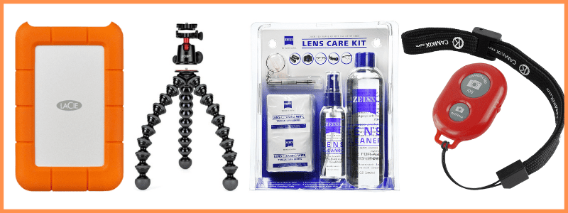
- Lightweight Travel Tripods
- Camera Backpack: Protecting your camera from the sand and dust in Capitol Reef is essential. Using a camera backpack is so nice for hiking too.
- Graduated neutral density filter: There can be extreme differences in light around the various rock structures. To compensate for this variance of light you’ll need to use a GND filter.
- Camera cleaning kit: You’ll want to remove dust that WILL get on your lens – this is NOT for cleaning the sensor.
- Memory cards
- External hard drive: Don’t forget to copy the photos to a portable external hard drive ‘just in case’.
- Headlamp with a red light: For the best sunrise, sunset or night sky shots, you’ll be navigating in the dark. Use a headlamp to light your way to/from the parking lot to your spot. Wearing a headlamp allows you to adjust equipment without having to hold a flashlight. Remember to use the red light setting and keep the beam pointed on the ground in front of you to avoid disrupting other photographers in the area taking long exposure shots.
Camera Gear at B&H Photo
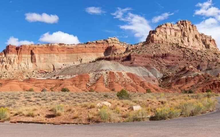
A Photo Tour of Capitol Reef National Park
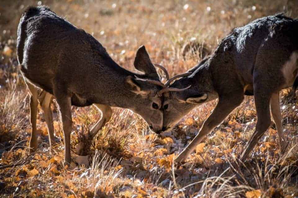
Take a visual tour through Capitol Reef National Park to see the stunning landscape and wildlife you’ll find in the park!
Basic Information For Visiting Capitol Reef
Capitol Reef is located in south-central Utah where you’ll find stunning landscapes with cliffs, canyons, domes, and bridges.
This Utah National Park is found between Arches and Canyonlands and Bryce Canyon and Zion which makes it easy to add to your Utah National Park road trip itinerary if you plan to visit all five parks!
A Capitol Reef entrance fee is charged only for the main scenic drive in the park. The self-pay entrance station is located just south of the campground. There is no entrance fee for anyone with the US National Parks pass.
Capitol Reef Weather
We get asked often when is the best time to visit Capitol Reef National Park? The answer really depends on the things you want to see, do, and photograph at the park.
Spring and fall are the best times of year for moderate Capitol Reef National Park weather, but they are the busy seasons.
SPRING AND FALL – the most temperate seasons are spring (April through May) and fall (mid-September through October). The spring and fall daytime highs average 60º to 75ºF and lows average 30º to 45ºF.
SUMMER – temperatures during the day range are in the 80s to 90sºF. Outdoor activities and photography should be limited to the cooler morning and evenings to avoid the harsh mid-day sun. Keep in mind the sunrise times are really early, sunset times are really late, and the milky way is best photographed in the middle of the night during the summer.
WINTER – temperature highs average 30º to 45ºF and lows in the 20sºF. So it’s cold! Large amounts of snow in the park are uncommon, but even small amounts of snow or ice can make the park trails and roads impassable. Be prepared with the right winter clothing so you’ll want to be out taking pictures! We recommend photographer gloves and rechargeable hand warmers!

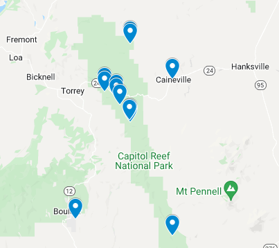
Capitol Reef Photo Spots Map
Use this map of Capitol Reef photo spots to navigate through the park from location to location.
Tips to Take Capitol Reef National Park Photos
We’re going to share some of our favorite photographic locations within the park, along with tips and tricks to help you capture stunning Capitol Reef landscape photos!
Remember the best Capitol Reef National Park photography takes place during the blue and golden hours near sunrise and sunset.
Most of the photo spots will be found along Highway 24, the main Capitol Reef scenic drive, and scenic drives in more remote areas of the park.
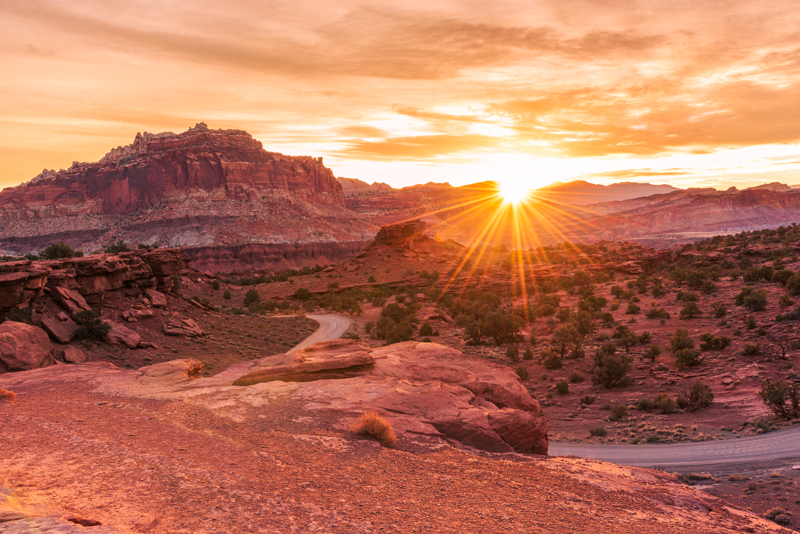
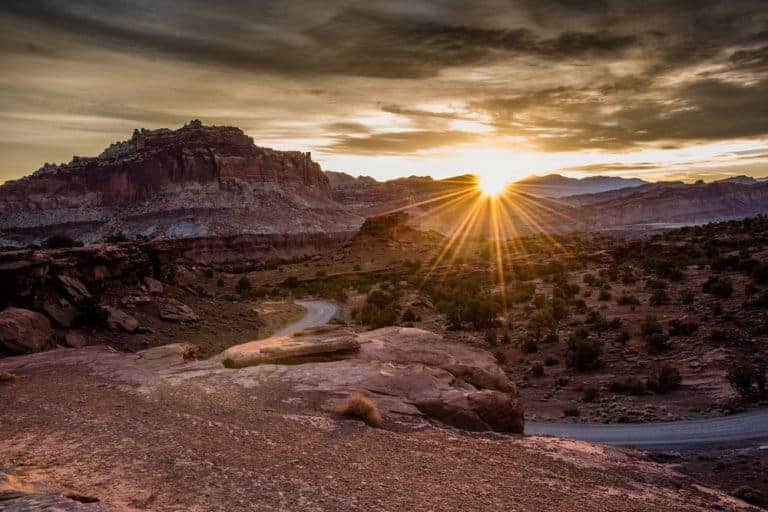
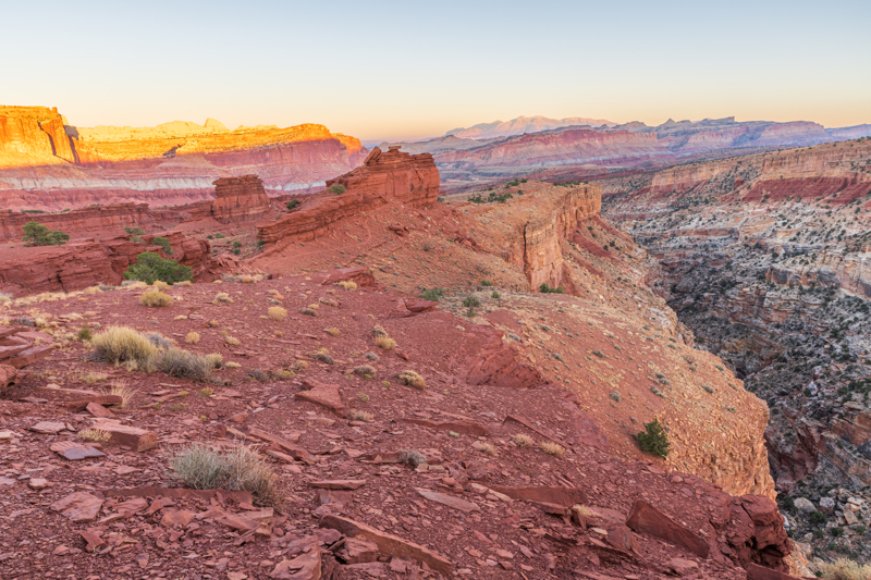
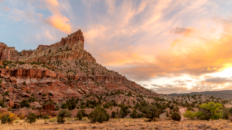
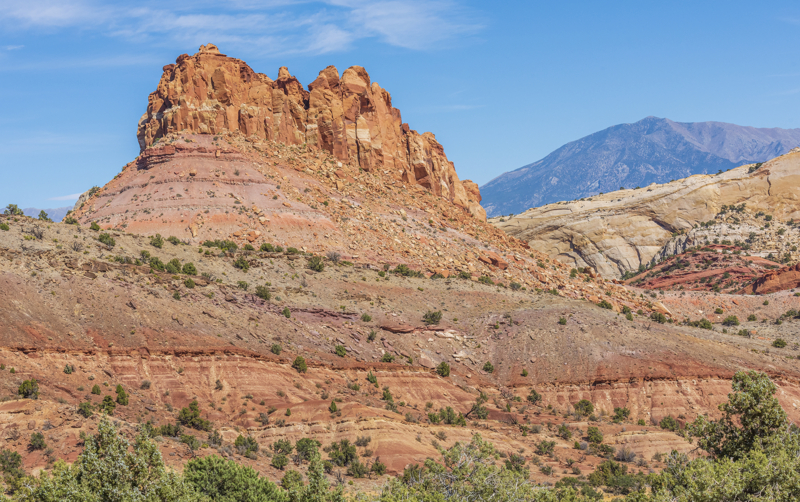
Panorama Point Photos
We LOVE Panorama Point at sunrise to capture the sun crossing the horizon. Access this sunrise photo spot at Capitol Reef from Highway 24 as you enter the park from the west.
For sunrise photography at Panorama Point, we like to arrive at least 30 minutes before sunrise to get set up. From the parking lot we walk up the rock hill a bit so we can see the 360 degree panoramic view!
It’s always a bonus when there are clouds in the sky that reflect the golden light!
Be sure to take photos of the other landscape scenes you can see from Panorama Point. There are colorful rock walls across the highway as well as the view looking west!
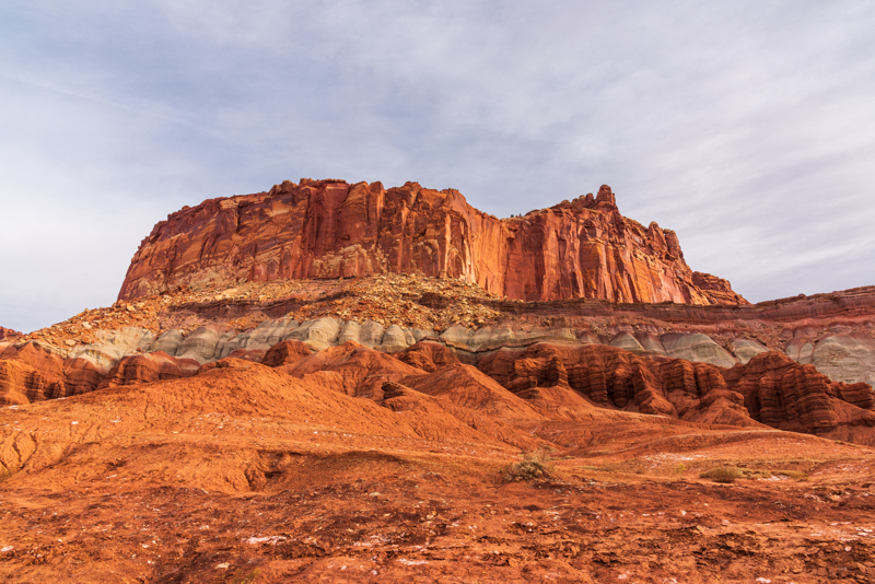
Along Highway 24 coming from Torrey in the West, you’ll find many other pullouts to take pictures of the unique landscape found at Capitol Reef!
It’s worth stopping at all of them to see the varied landscape views as you drive.
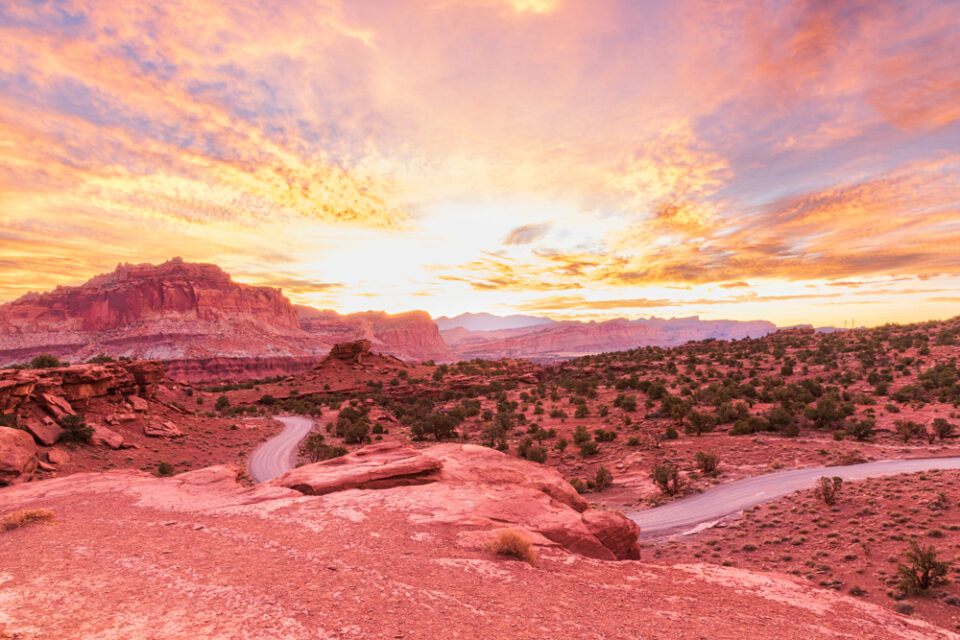
Sunset Point Photos
At Sunset Point you won’t see the sun setting on the horizon, but you’ll watch the transition from Golden Hour to Blue Hour.
As the sun sets, the landscape in the foreground becomes shadowed, but the tops of the distance rock cliffs glow with light.
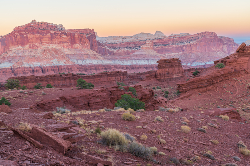
We like to wait until the sun sets when the scene is all in shadow to capture blue hour photos.
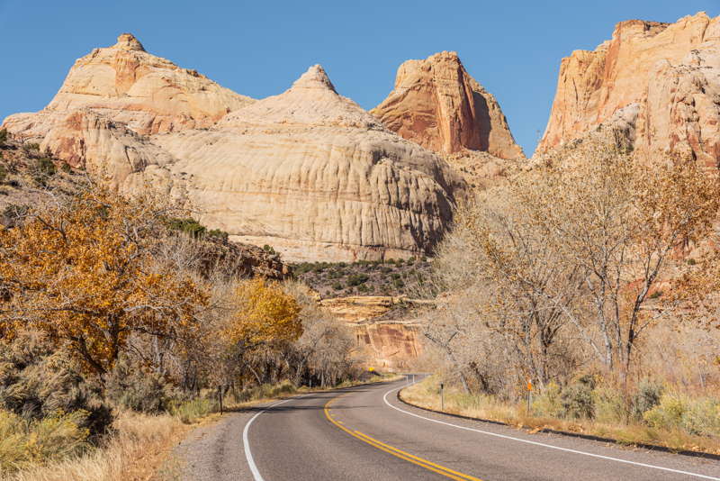
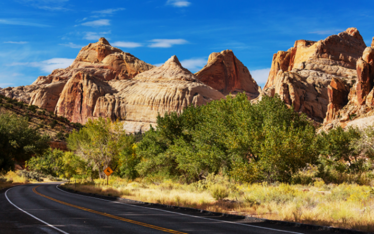
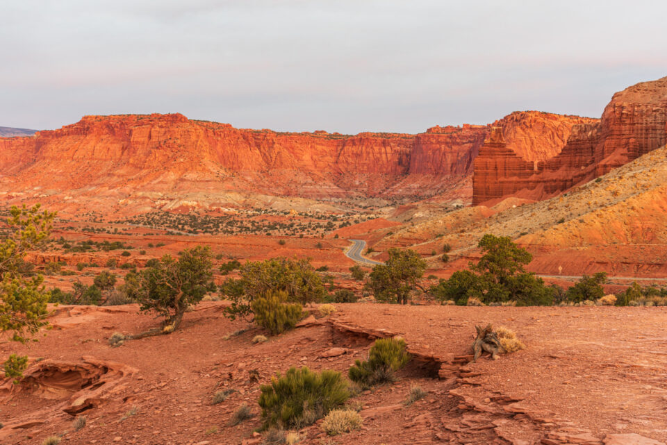
Highway 24 Photos
As you drive along Highway 24, stop at the various pullouts to photograph this jaw-dropping landscape!
There are some fun pullouts east of Fruita where you can line the road up to use as a leading line to the white domed structures that give the park it’s name!
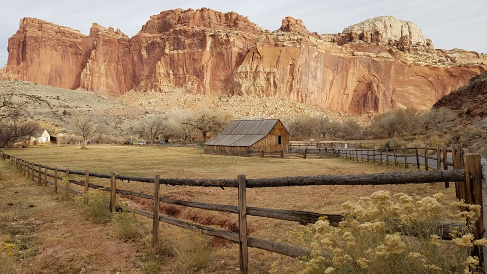
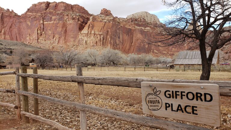
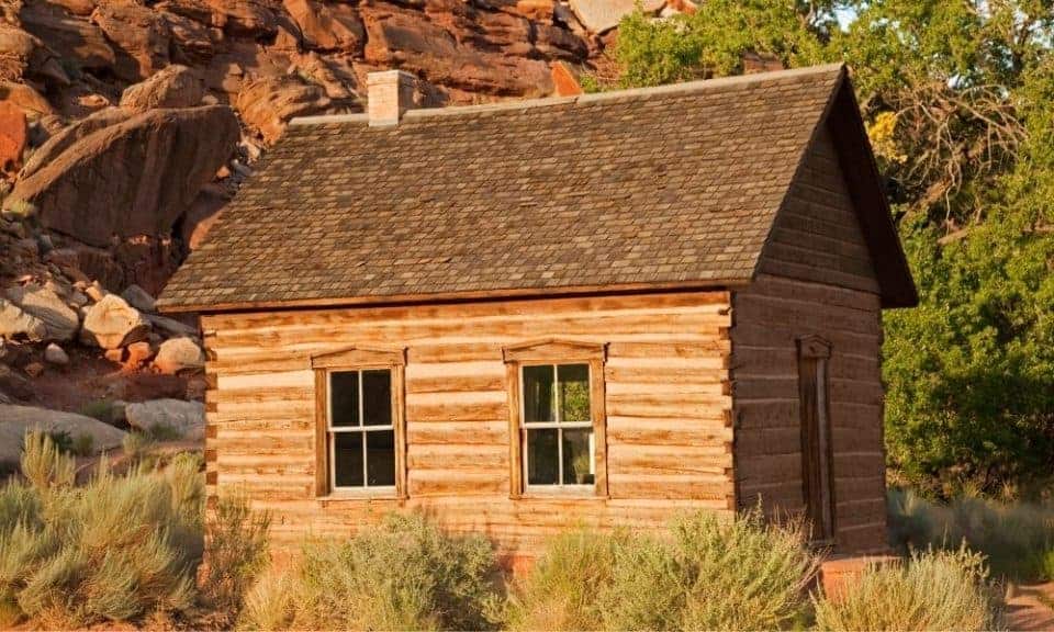
Fruita Area Photos
The scenic drive begins at the Fruita Historic District. Here you’ll find most of the Capitol Reef services like the Visitor Center, ranger programs, restrooms, picnic areas near the river and the campground.
There are so many fun photos to take in the Fruita area!
- Gifford barn
- Blacksmith shop
- Fruita schoolhouse
- Gifford House (museum and yummy food)
- Orchards (pick fruit in season)
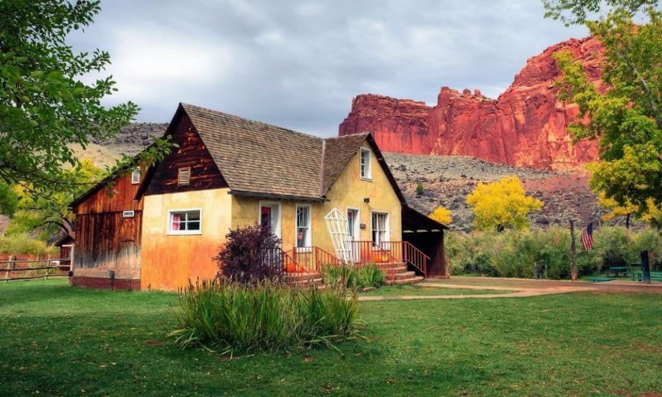
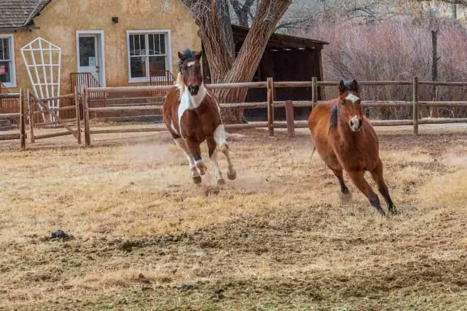
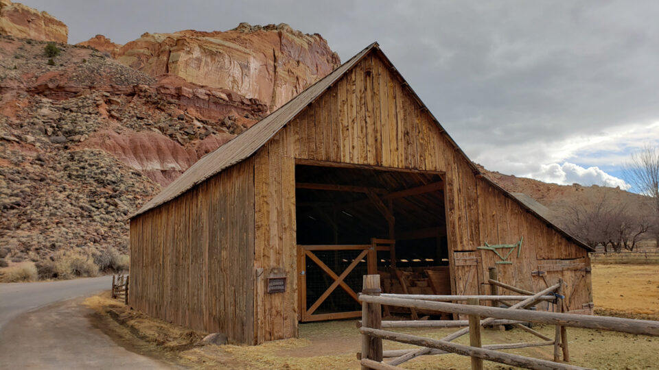
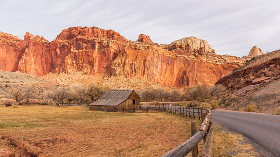
You can never have too many Capitol Reef photos of the Fruita area with the barn, horses, and historical structures here!
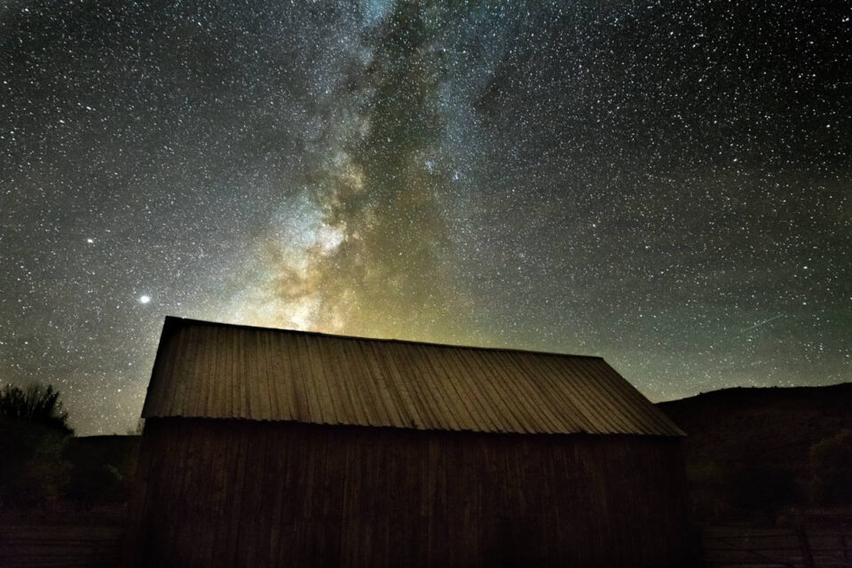
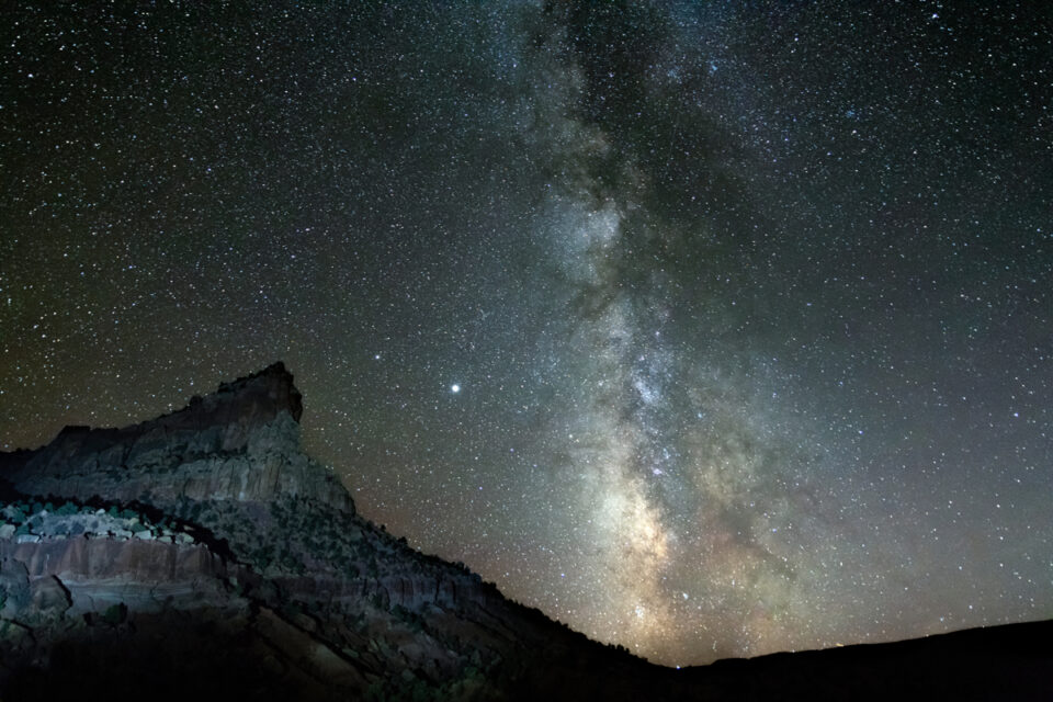
We’ve even had fun taking Capitol Reef night photos here with the milky way over the Fruita barn!
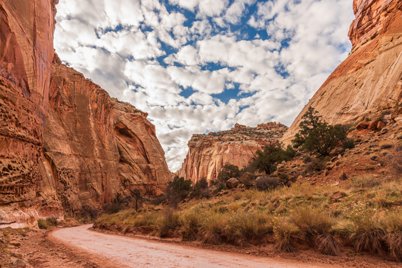
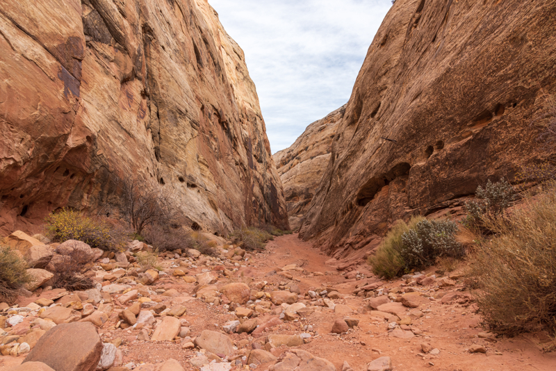
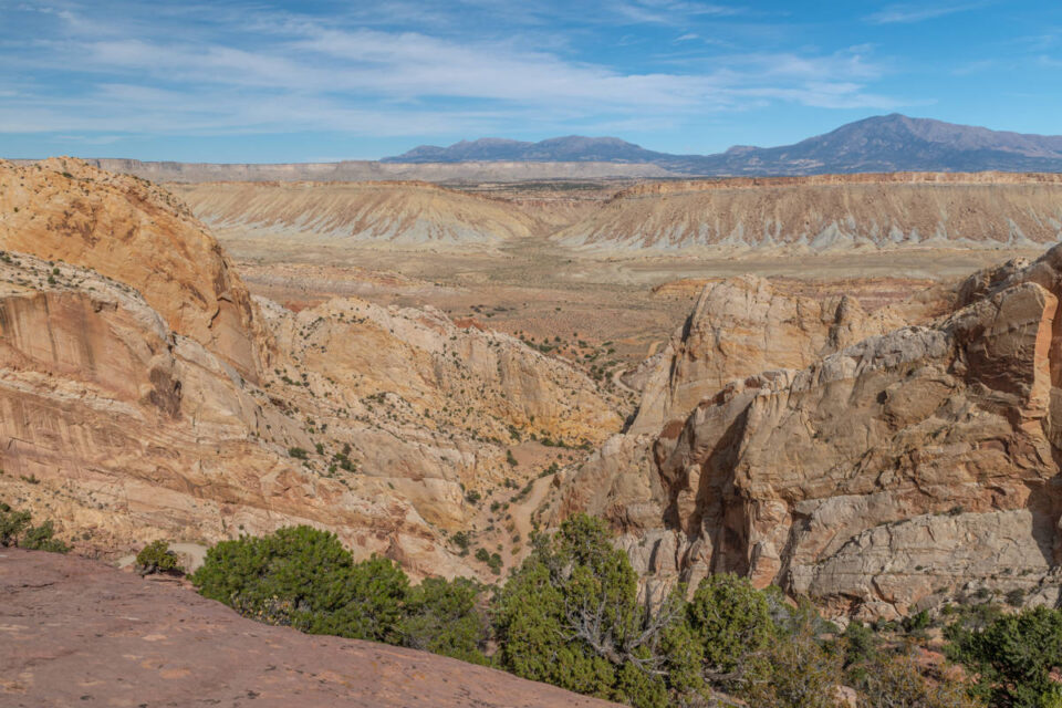
Grand Wash Photos
From Fruita continue along the Capitol Reef scenic drive to the Grand Wash spur dirt road that leads into a narrow, steep-walled canyon that is extremely vulnerable to bad weather conditions.
PAY ATTENTION to the weather because you don’t want to get caught in the narrow canyon during a flash flood!

At the end of the spur road is the parking lot for the Grand Wash hike – a fun day hike in Capitol Reef National Park. Here you’ll turn around and return the way you came back to the paved scenic drive road.
Capitol Gorge Photos
At the end of the scenic drive you’ll find Capitol Gorge. There’s a large parking lot with picnic tables and pit toilets here.
Eph Hanks Tower seen from the parking lot is a terrific location for sunset and night photography.
This is also where the dirt road spur trail begins to take you to the Capitol Gorge hiking trail.
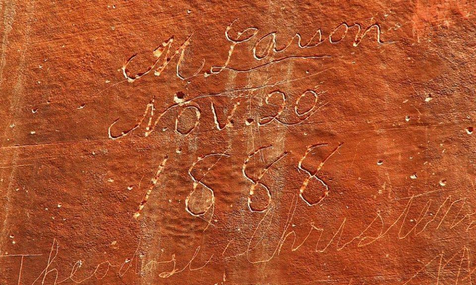
The drive down the spur road is worth it if you have the time, even if you won’t do the hike. You might consider taking the short walk into the gorge to see the “Pioneer Register”, which are carved signatures of pioneers on the canyon wall.
Farther down the trail you’ll find the Tanks Trail, a rocky and rugged hike that climbs 100 feet in 1/4 mile. During the spring and rainy times you’ll see cool potholes full of water that are fun to photograph!
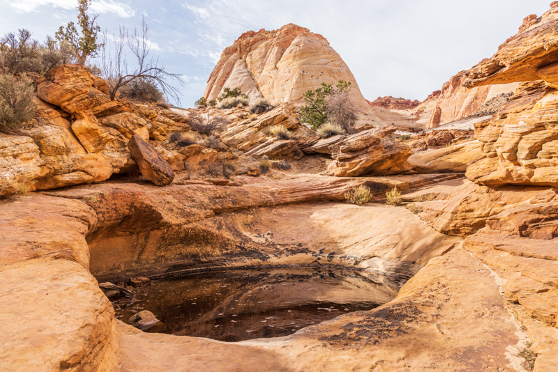
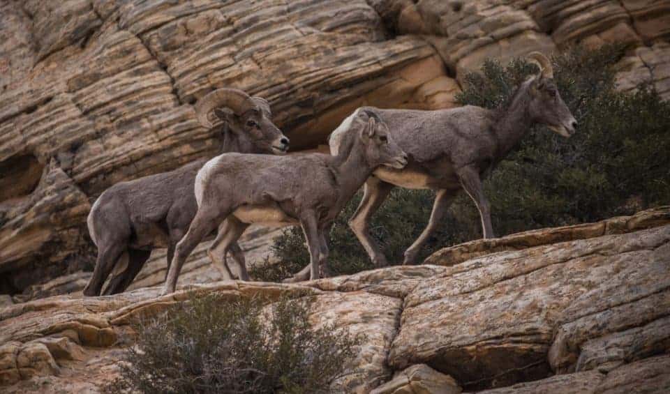
Keep your eye out for Big Horn Sheep on this trail too! We were lucky to spend over an hour watching a family with no one else around!
You’ll return to the Scenic Drive the way you came and head back toward Fruita.
At sunset, the sun lights up the cliff walls along the drive. We like this photo of the road leading into Fruita with the reflected light on the cliffs.
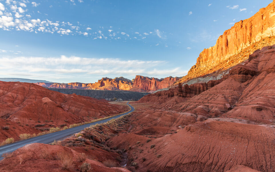
There are a few pullouts along the road to capture this scene!
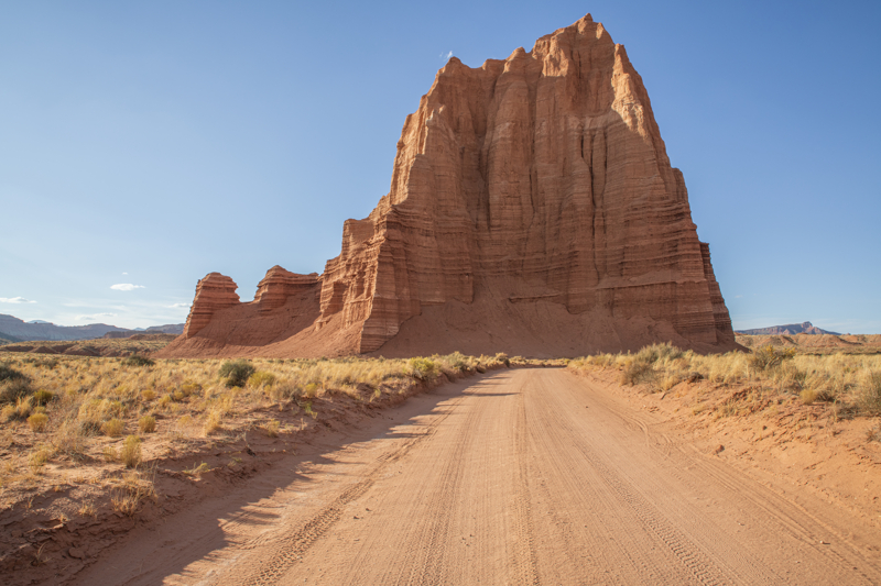
Cathedral Valley Photos
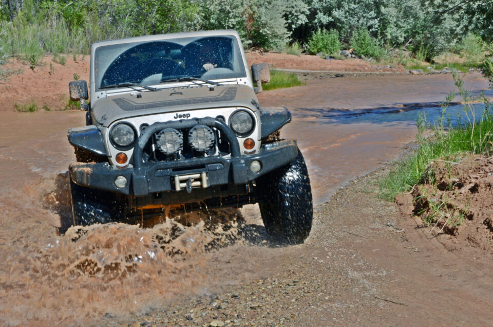
If you’re up for adventure, drive the Capitol Reef Cathedral Valley loop. It’s a remote, rugged region that requires vehicles with high ground clearance. If it rains or snows, the roads can be muddy, washed out, and impassable to the best high-clearance four-wheel drive vehicle, so check at the visitor center before heading
out!!
Driving the loop takes 6-8 hours, and requires fording the Fremont River as there is no bridge.
Many opt to avoid the river and drive the Caineville Wash Road as far as the Temples of the Sun, Moon and Stars then return the way they came, which can be done in a half day.
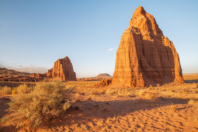
Sunrise, sunset and night photography are good times to capture the Temples of the Sun, Moon and Stars.
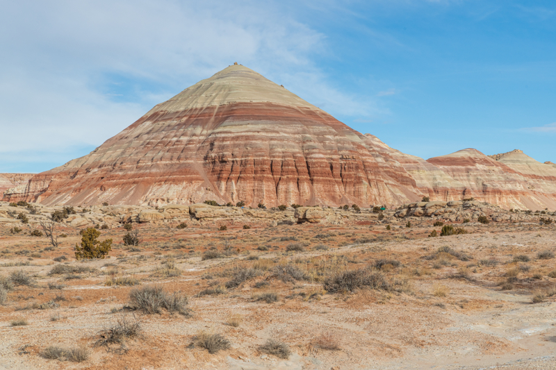
Take your time to stop along the drive to photograph the spectacular geology along this scenic road!
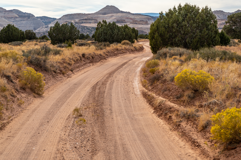
Burr Trail Photos
The Burr Trail is a fun scenic drive when visiting Capitol Reef. In dry weather all
vehicles can easily access this road. When it’s wet, the road may be impassable even for 4WD vehicles. Always check with rangers for current conditions!
We like to begin this drive in Boulder then loop back to Capitol Reef. There is stunning scenery all along this drive so be sure to stop and take pictures of this beautiful landscape!
You’ll find a terrific photo spot at the top of the switchbacks so be sure to stop and enjoy the view and take some pictures!
After descending the switchbacks, take the road toward Highway 24 (Capitol Reef) instead of continuing on to Bullfrog.
Plan a Capitol Reef Vacation
- Capitol Reef National Park Itinerary
- Capitol Reef National Park Activities
- Things To Do Near Capitol Reef National Park
- Capitol Reef National Park Facts