20 Fun Capitol Reef National Park Facts
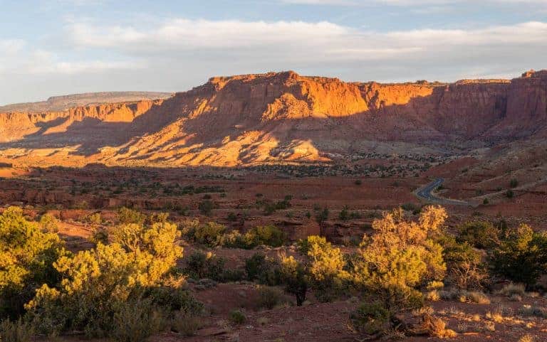
Located in south-central Utah, Capitol Reef National Park is know for it’s stunning geological features and was named after the white domes of Navajo Sandstone.
In this article, we will take a look at some fascinating Capitol Reef National Park facts that you may not have known before: location, history, geology, and weather!
Use this Capitol Reef National Park guide to learn more about the park before you visit.
We also share important things to know to help you plan your Capitol Reef National Park vacation: what to pack, things to do, and where to say.
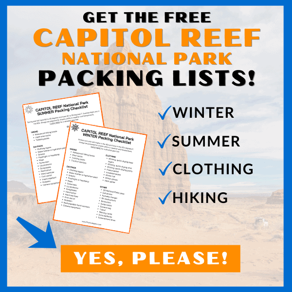
Make sure you have the right clothing and gear for visiting any time of year. Grab your free printable Capitol Reef National Park packing list by clicking the image below!
This site contains affiliate links which means WE may receive commissions for purchases made through these links. We only provide links to products we actually use and/or wholeheartedly recommend! As an Amazon Associate, we earn from qualifying purchases. Read the full Disclosure Policy.
A Photo Tour of Capitol Reef National Park
Take a visual tour through Capitol Reef National Park to see the stunning landscape and wildlife you’ll find in the park!
Capitol Reef National Park Facts
If you enjoy history and geology, be sure to check out the facts about US National Parks before you visit.
At Capitol Reef you can explore the park’s unique history by visiting abandoned pioneer settlements or exploring ancient petroglyphs etched into rocks.
Enjoy an incredible array of Capitol Reef National Park activities such as camping, hiking, horseback riding and mountain biking.
With breathtaking views of colorful rock formations and some of the darkest night skies in the country, Capitol Reef National Park is truly a nature lover’s paradise.
Here are facts about Capitol Reef National Park that you might not have known! These facts are great for brushing up on your park knowledge or preparing for an upcoming trip to Capitol Reef.
Basics About Capitol Reef National Park
First, let’s start with the basics of Capitol Reef:
- Location: South-central Utah near Torrey
- Date it Became a National Park: December 18, 1971
- Acreage: 377.98 Square Miles
- Number of Visitors: Over 1.4 Million Visitors in 2021
- Highest Elevation: Upper Deep Creek drainage (8,960 feet)
- Lowest Elevation: Hall’s Creek drainage (3,877 feet)
- Average Precipitation: 7.91 inches (Capitol Reef National Park weather)
Fremont and Paiute People Were the First to Explore Capitol Reef
The first people known to have explored Capitol Reef National Park were actually Native American tribes, such as the Fremont and Paiute people, who lived in the area for thousands of years before the arrival of European settlers.
They hunted and gathered food in the region and created petroglyphs and other forms of rock art that can still be seen in the park today.
Mormon Pioneers First Settled in Capitol Reef
In 1866 officials of the Church of Jesus Christ of Latter-day Saints sent groups of settlers to establish missions in the most remote areas of the west. In the 1870, settlers moved in and built irrigation systems, planted orchards, and established a thriving community. Capitol Reef is now one of five Utah National Parks.
How Capitol Reef Got Its Name
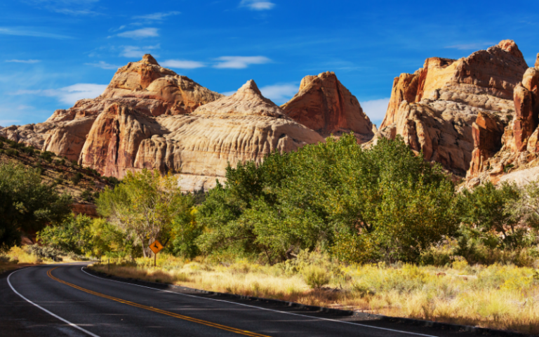
Early settlers thought the white domes of Navajo Sandstone looked like the dome of the Capitol building in Washington, DC. Many explorers to the area referred to the Waterpocket Fold as a reef. The 87-mile long ridge rocky cliffs was a big barrier to transportation, like an ocean reef.
Capitol Reef Has Orchards Where You Can Pick Fruit
Capitol Reef National Park is home to the Fruita Orchards, a historic orchard area in the park’s Fruita district. The orchards were initially planted by Mormon settlers in the late 1800s and early 1900s, and they still produce a variety of fruits, including apples, peaches, pears, apricots, cherries, and plums.
Visitors to the park can pick and purchase fruits during the harvest season, which typically runs from mid-June to October, depending on the fruit. There are designated orchards and picking rules, which can be found at the park’s visitor center.
Picking fruit in the orchards is a unique experience when visiting Capitol Reef National Park in the fall. It’s a fun way to enjoy fresh, locally-grown produce while exploring the park’s scenic beauty.
Capitol Reef Has a Variety of Species of Plants and Animals
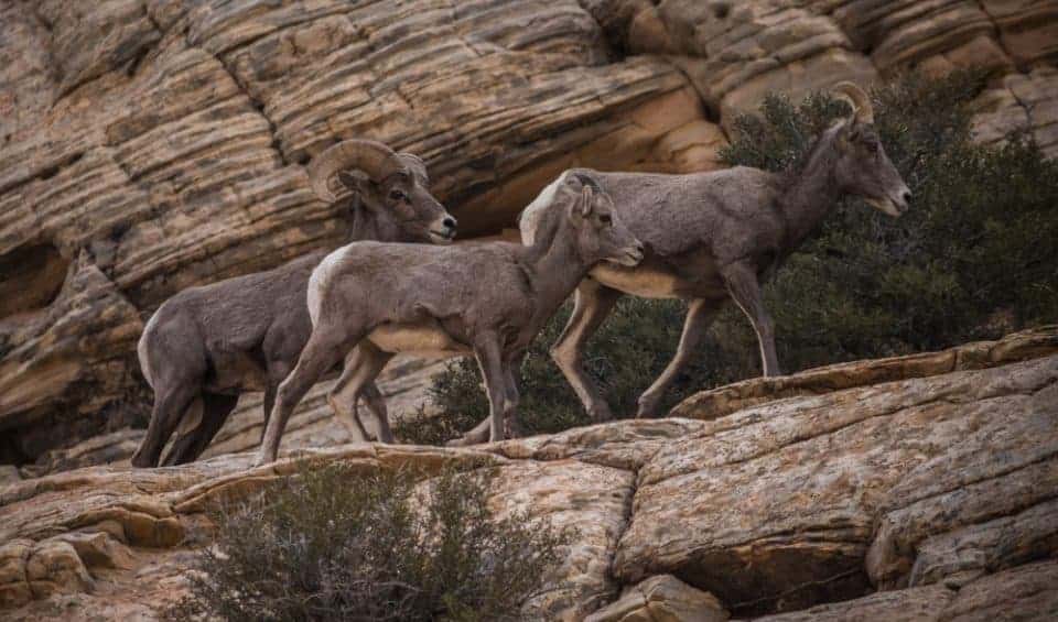
It’s surprising there are more than 1,100 species of plants found in this southwest national park. Some of these species include:
- Utah juniper, pinyon pine, ponderosa pine
- Apache plume, cliffrose, fourwing saltbrush
- Claret cup, Harriman’s yucca, prickly pear cactus
- Wildflowers
You can also find a wide variety of wildlife at Capitol Reef too:
- 58 species of mammals
- 233 species of birds
- 16 species of reptiles
- 5 species of amphibians
- 13 species of fish
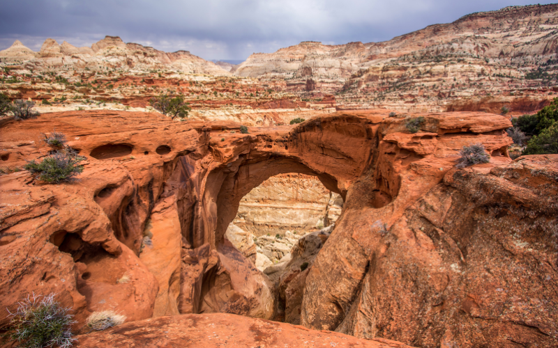
Capitol Reef Has a Natural Bridge
The Hickman Bridge is a 133-foot-long natural bridge that spans a canyon, and it is made of sandstone that was formed over millions of years through erosion by water and wind. The bridge is named after Joseph Hickman, a local settler who was one of the first to explore the area in the late 1800s.
It is a popular day Hike in Capitol Reef National Park, located in the Fruita area. The Hickman Bridge trail is about 1.8 miles round-trip and is considered a moderate hike with some elevation gain. It offers stunning views of the surrounding canyon and rock formations and is a must-see attraction for Capitol Reef National Park visitors.
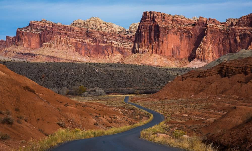
A Vehicle Can Drive Through Three Sections of Capitol Reef
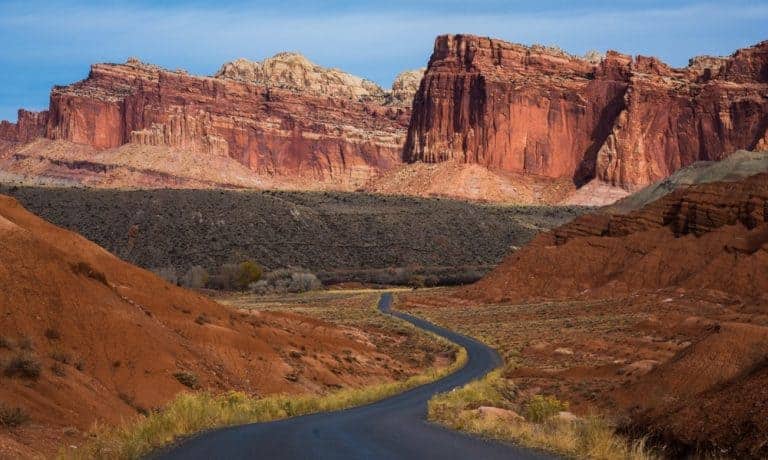
There are three Capitol Reef Scenic Drives you can explore in the park:
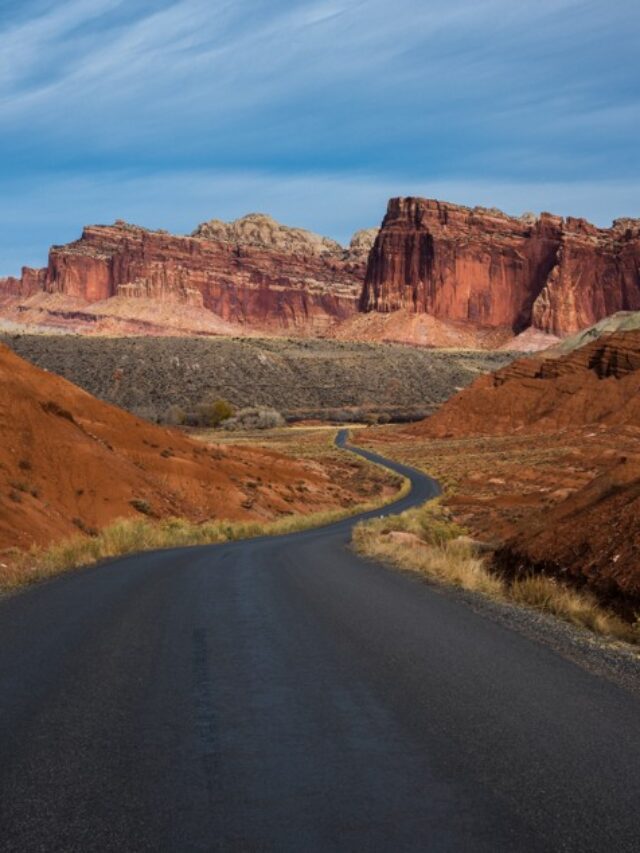
Fruita Scenic Drive: The main scenic drive is 7.9 miles long. Exploring the Capitol Reef scenic drive, with the spur roads, usually takes 1.5 hours.
The paved road is suitable for passenger vehicles. Since it’s not a loop road, you’ll drive back the way you came.
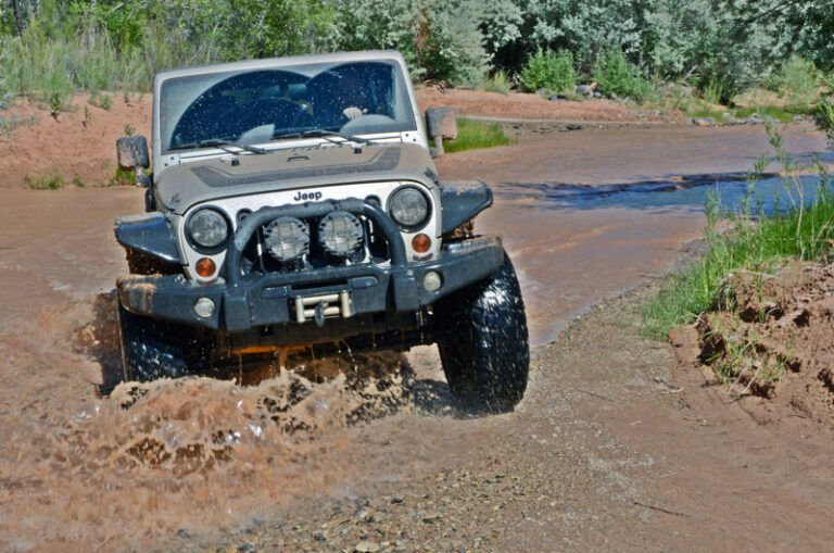
There are two dirt spur roads off the scenic drive: Grand Wash and Capitol Gorge. Passenger cars and RVs up to 27 feet in length are fine to drive the road.
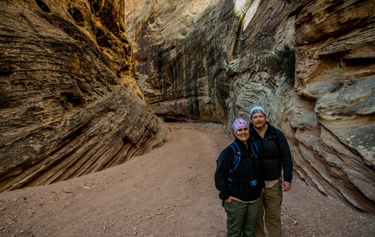
At the end of the Grand Wash and Capitol Gorge spur roads you’ll find a trailhead to two of the most amazing Capitol Reef hikes!
The Scenic Drive, Grand Wash, and Capitol Gorge roads can be closed due to snow, ice, mud, and flash floods.
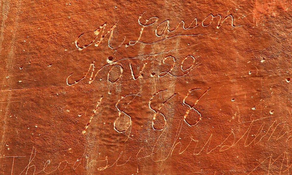
Capitol Reef Has Historical Buildings and Petroglyphs
You’ll find quite a few historical sites at Capitol Reef:
Petroglyph Panel – One of the most well-known petroglyph sites in the park is the Fruita Rock art Site, located near the Fruita district. This site contains over 200 petroglyphs created by the Fremont people, who lived there from about 700 to 1300 AD. The petroglyphs depict various animals, human figures, and abstract shapes and designs.
Another petroglyph site in the park is the Capitol Gorge Petroglyphs, located in the Capitol Gorge area. These petroglyphs were created by the Southern Paiute people and dated back to around 1200 to 1300 AD. They depict human figures, animals, and other symbols.
Pioneer Register – About .5 miles down the Capitol Gorge trail you’ll see names, dates, and places carves into the sandstone. Early prospectors, surveyors, cowboys, and settlers would stand on their wagons and carve their names into the canyon wall.
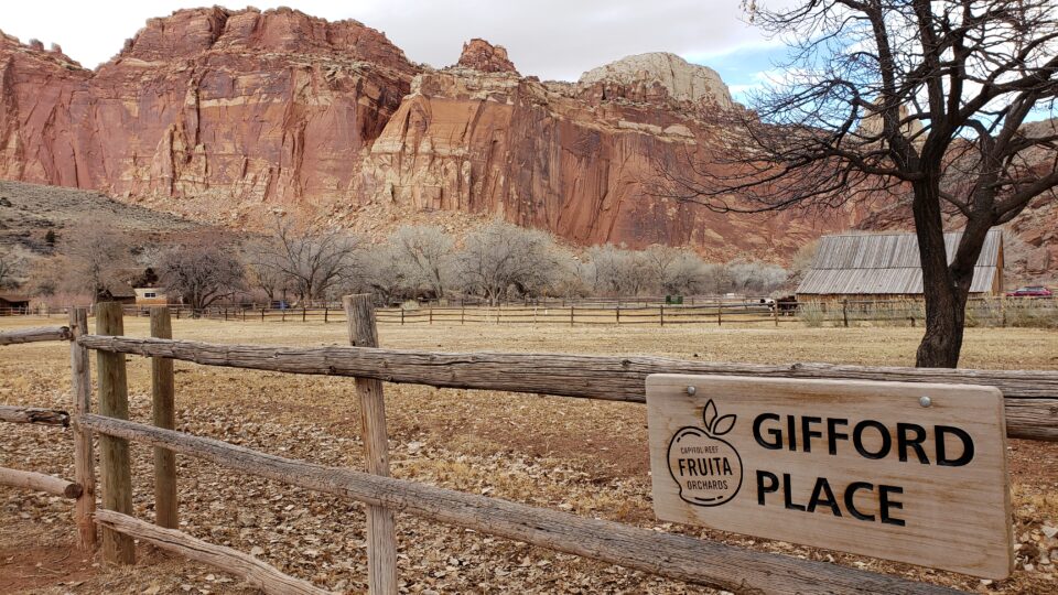
Gifford Homestead – The heart of Capitol Reef National Park is the Fruita District. It’s where you’ll find amazing geology, historic structures and fruit orchards. The 200 acre Fruita Rural Historical District is listed on the National Register of Historic Places!
The Gifford House depicts the typical spartan nature of rural Utah farm homes of the early 1900s. In addition to the farmhouse, the Gifford homestead includes a barn, smokehouse, garden, pasture, and rock walls.
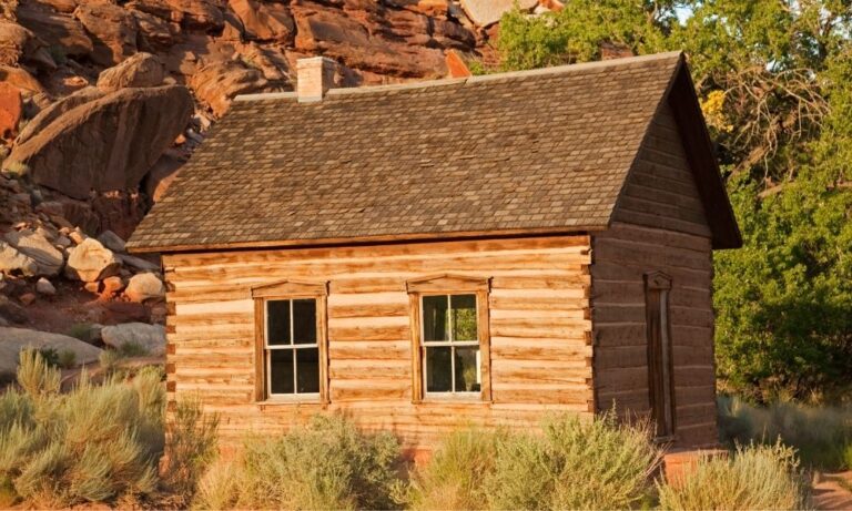
Fruita Schoolhouse – The National Park Service restored the Fruita Schoolhouse to the way it looked in the 1930s.
Capitol Reef is an International Dark Sky Park
Capitol Reef National Park is an International Dark Sky Park, designated by the International Dark-Sky Association (IDA) in 2015. This designation recognizes the park’s efforts to preserve and protect its dark night skies, making it an excellent place for stargazing.
Tips for Visiting Capitol Reef National Park
We recommend the Capitol Reef GuideAlong App to hear fun behind-the-scenes stories and local tips that play automatically as you drive, based on your GPS location.
Here are the important things to know before visiting Capitol Reef National Park:
The park and campgrounds are open 24 hours a day, 365 days a year. The Visitor Center is open daily except for major holidays. The Gifford House Store and Museum is usually open from March 14 (Pi Day) to the end of October. Check the website for the most updated information.
Best Season to Visit Capitol Reef National Park
The best time to visit Capitol Reef National Park is during the most temperate seasons in the spring (April through May) and fall (mid-September through October). The spring and fall daytime highs average 60º to 80º F and lows average 30º to 50º F.
Where to Stay Near Capitol Reef National Park
There is only one campground inside the park, and no other lodging options. You’ll find other accommodations in the area like hotels, motels, RV Parks, and glamping!
- Places to Stay at Capitol Reef National Park
- Hotels near Capitol Reef National Park
- Capitol Reef National Park Camping
- RV Parks Near Capitol Reef National Park
- Glamping Near Capitol Reef National Park
Capitol Reef National Park Itineraries
Check out these done-for-you itineraries for Capitol Reef based on the time you have to spend exploring the park!
- Capitol Reef National Park in one day
- Two days in Capitol Reef National Park
- Three days in Capitol Reef National Park
Grab our travel bundle with printable 1, 2 and 3-day itineraries to easily plan your vacation! Simply click the graphic below to get the free itinerary pack! Click on the links below to see detailed itineraries based on the time you have to spend at the park.

